Overview
Manasalu Circuit Trek In 14 Days
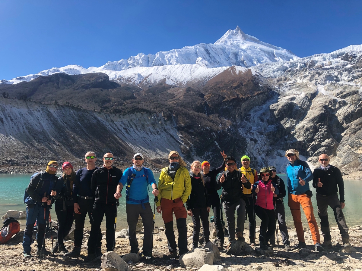
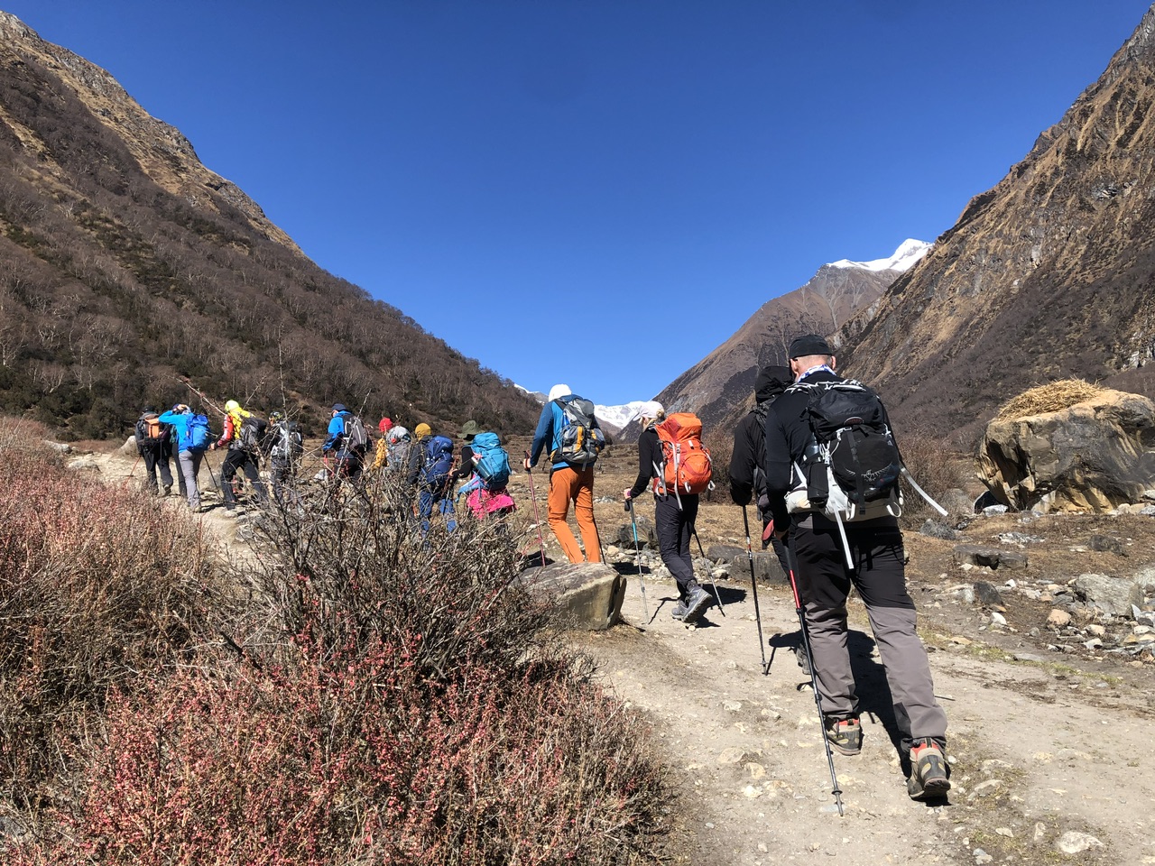
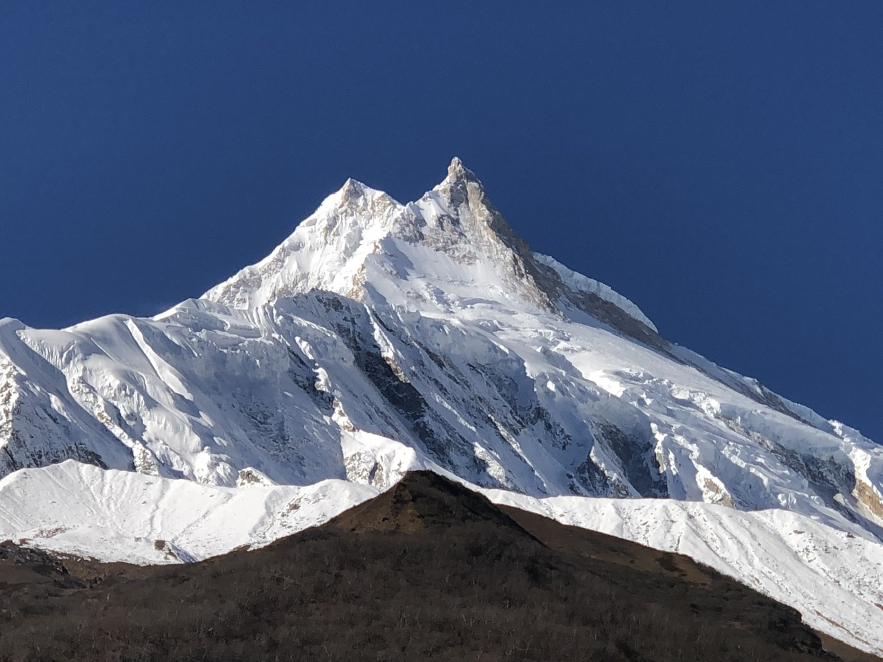
The Manaslu circuit trek is one of the best treks in Nepal. It takes you around the Manaslu Conservation Area and leads to a breathtaking view of the eighth-highest mountain in the world.
This trek can be a great alternative if you’ve already been to the Annapurna Circuit. Manaslu Circuit Trek is a 13-day trek that starts at Maccha Khola, ends at Beshi Sahar, and can be extended to 22 days with an additional side trek to the Tsum valley.
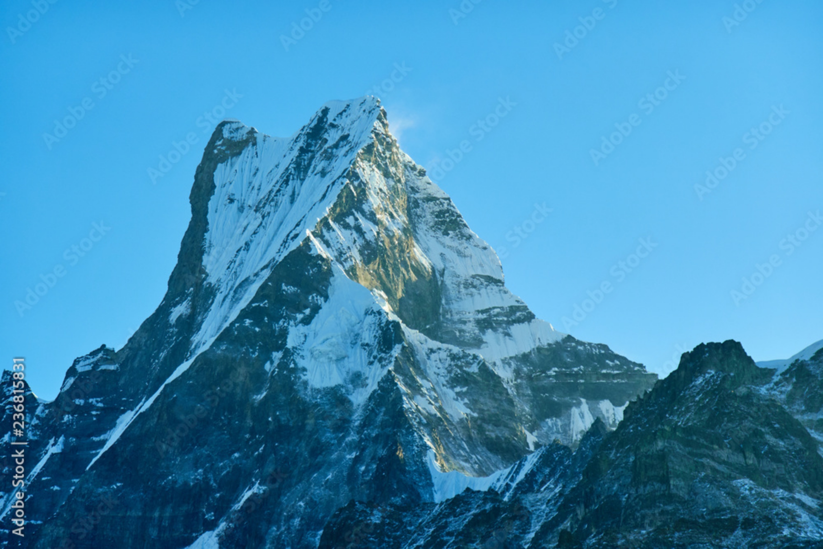
Flanked by the Annapurna’s to the West and Ganesh Himal to the East, Manaslu is one of the most graceful of the 8000-meter giants.
Unlike the Everest Base Camp Trek, which is flooded with trekkers from around the world; the Manaslu circuit trek usually sees fewer people along its route. It is remote and physically demanding yet culturally enriching and scenically uplifting.
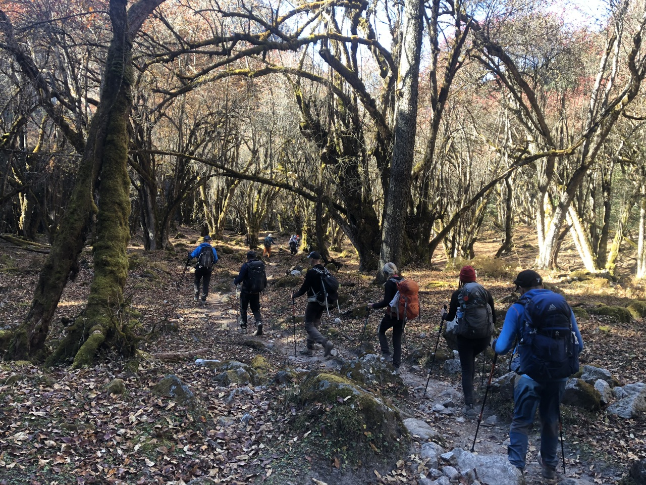
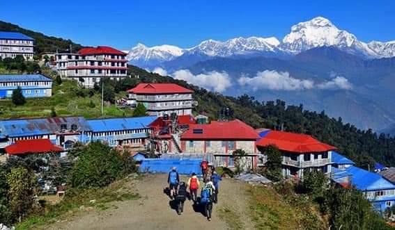
The circuit takes you from the steamy lowlands with their rice and millet terraces through the mighty gorges of the Budi Gandaki with its turquoise waters and amazing waterfalls. Suspension bridges in the Manaslu trek are in a league of their own for both length and height, and the yearly monsoon often washes minor bridges away, leaving trekkers to use semi-submerged rocks.
Only opened to a maximum of 400 trekkers in 1992, this trek still feels like a pioneering expedition. If you want to know what trekking in the 1980s was like, the Manaslu circuit trek is a visual feast from start to finish, but you better be fit.
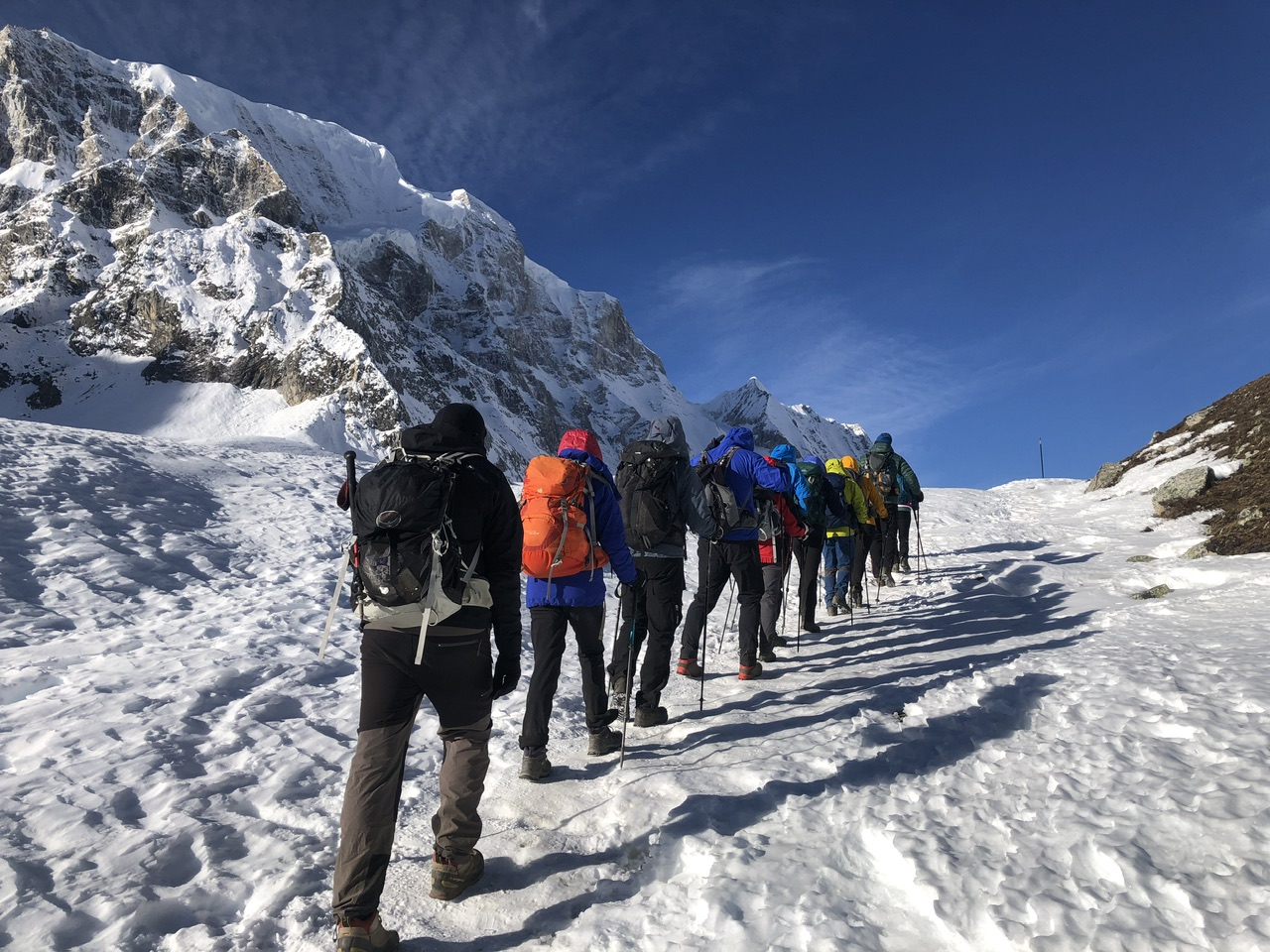
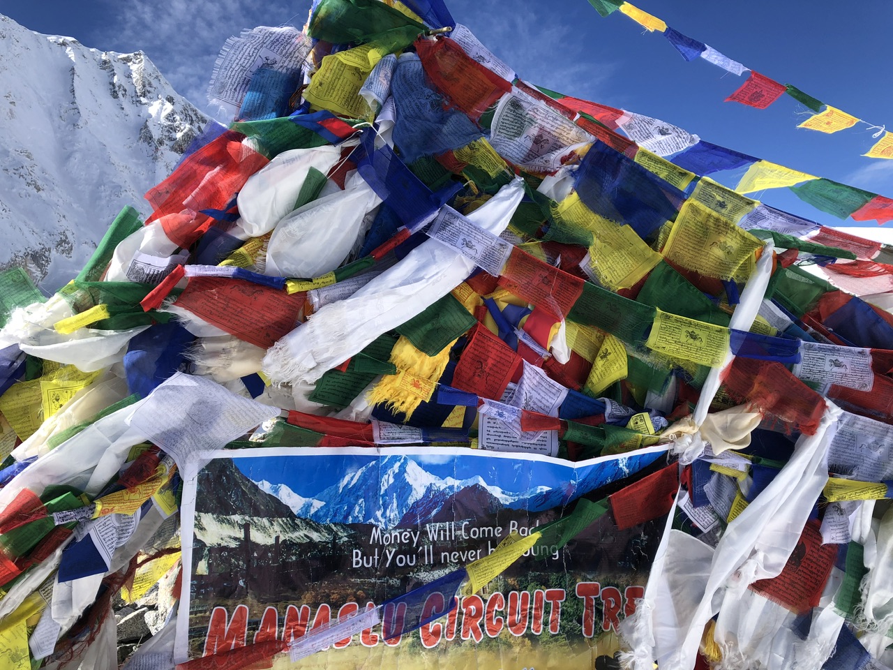
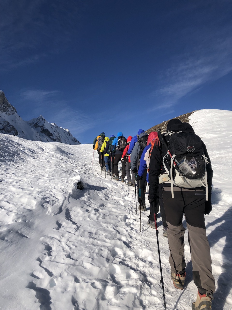
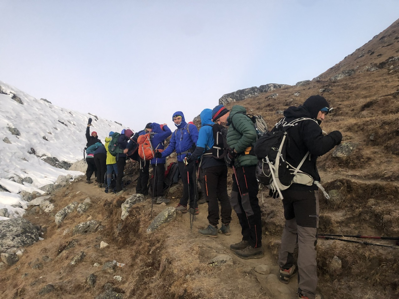
Slowly, you wind your way North to the snowbound Larkya La Pass next to the Tibetan border. The altitude here is a problem but almost forgotten with the jaw-dropping views of Manaslu. At 5,167 meters/16,952 feet, Larkya La Pass is usually snow-covered and icy. Micro crampons are often used on the descent. Trekking to the pass requires a 4 a.m. start to make the highest point before the winds come, usually around mid-morning.
From the pass looking back the way you have come gives a clear view, but by far, the most amazing view comes after you have left the pass and walked along a corridor to the west.
A great glacial cirque bursts into view. A stupendous wall created by Cheo Himal, Himlung Himal, Nemjung, Gyaji Kang, and Kang Guru casts down a stream of glaciers while Annapurna II rises ahead. This view alone makes the trek worthwhile. Magical Nepal can arrange your all-inclusive 13-day trek. The trek can be done on a teahouse unless you want to go off-route, where camping is the only option.
ACCOMODATION
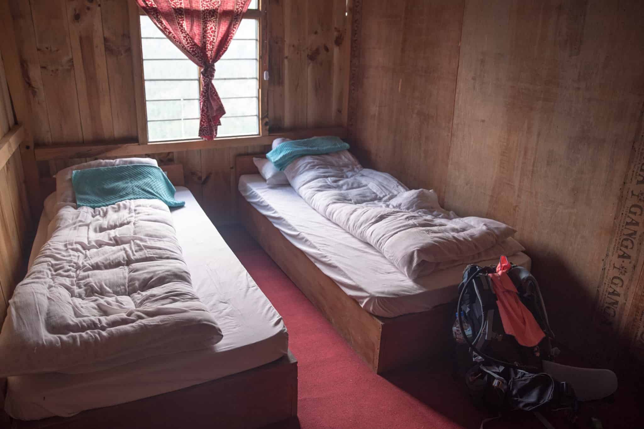
We will be staying at best hotel in kathmandu, a 3-star hotel in Kathmandu; and teahouses during the trek. All accommodations are on twin-shared basis. Single supplement will be served on request and will cost an additional USD 320. Conqueri will arrange rooms with attached washrooms; however, teahouses in some places only have shared washing and toilet facilities. Also note that single rooms are readily available in Kathmandu and the trekking regions at lower elevation but it might be difficult to find them at higher elevations.
MEALS

All meals will be provided during trekking while only breakfast will be available in Kathmandu. There will also be welcome and farewell dinners for guests. While on trek, we have breakfast and dinner in the tea-houses/lodges we spend the night and lunch on our way to the next destination. Nepalese, Tibetan, the more common continental and Indian cuisines are common choices in the menu.
PHYSICAL CONDITION & EXPERIENCE REQUIREMENTS
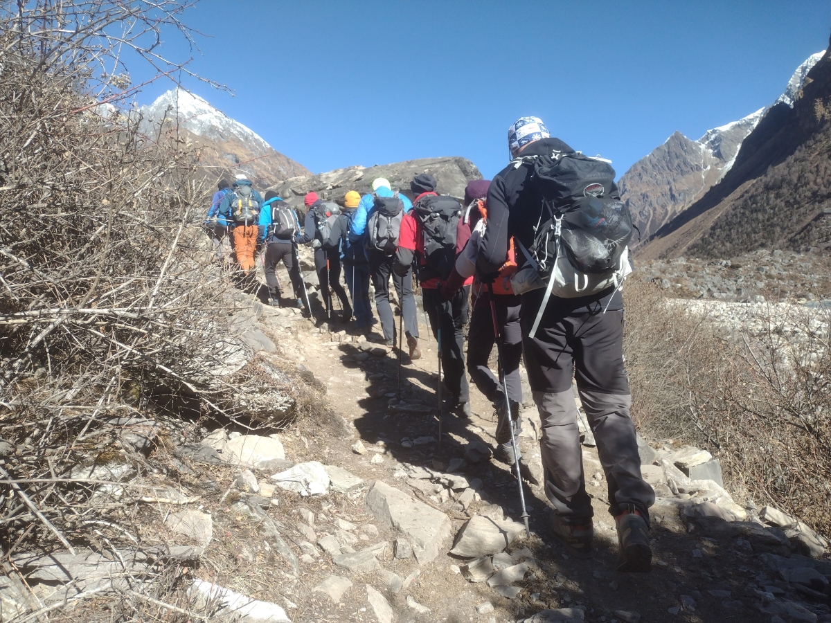
Manasalu circuit Trek -16 days is a moderate trek. Travelers who can walk up to 6-7 hours a day on an uphill and downhill trail will find this trek fulfilling. It is best that we prepare ourselves for the Manasalu circuit trek by jogging and exercising regularly at least a month prior to the start of the trek. Trekking to the Manasalu circuit should be relatively easier for those who have experience walking/trekking in a high altitude environment. Past hiking experience would be an asset but no technical skill is required for this trip. It is also important that we consult our doctor. Participants with pre-existing medical conditions such as heart, lung, and blood diseases should inform Conqueri before booking the trek.
BEST TIME TO TRAVEL
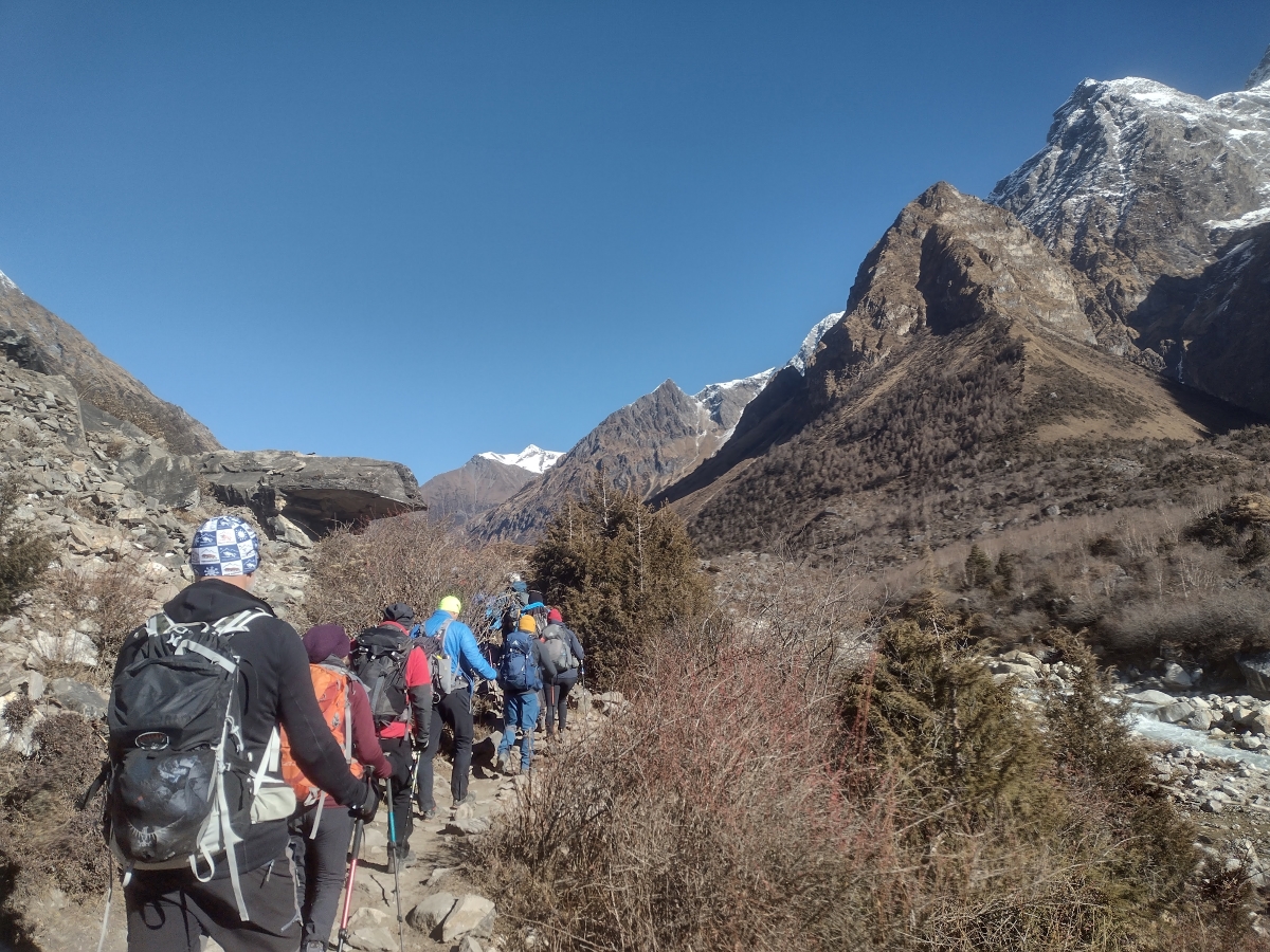
SPRING ( MARCH-MAY)
The best time to trek to the Manasalu Circuit is Spring (March to May) and Autumn (September to November). The temperature is moderate in these seasons and guarantees amazing views through the trip. Although this trek can be undertaken during winter, the cold temperature might not be suitable for everyone.
COST EXCLUDES
- Air Fare: International flight airfare (from and to Kathmandu)
- Nepal entry Visa fee: $ 50 USD for 30 days and $ 150 USD for 90 Days.
- Lunch & Dinner: Lunch & dinner during the stay in Kathmandu (also in case of early return from Trekking / Expedition than the scheduled itinerary).
- Extra night in Kathmandu: Extra nights’ accommodation in Kathmandu. In case of early arrival or late departure, early return from Trekking / Expedition (due to any reason) than the scheduled itinerary.
- Insurance: Travel and high-altitude insurance, accident, helicopter medical & emergency evacuation. *Mandatory
- Rescue Evacuation: Medical and emergency rescue evacuation cost if required. (Rescue, Repatriation, Helicopter, Medication, Medical Tests and Hospitalization costs.)
- Personal Expenses: Telephone, Internet, Toiletries, battery recharge, hot shower, laundry, any Alcoholic beverages (during the trek and in Kathmandu but we will serve soft drinks for members in base camp).
- Personal Equipment: Clothing, Packing Items or Bags, Personal Medical Kit, Personal Trekking /Climbing Gears.
- Toiletries: Soaps, shampoos, toilet and tissue papers, toothpaste, and other items used to keep yourself clean.
- Filming: Special Filming, Camera and Drone permit fee.
- Internet Service: Not included during the trek.

